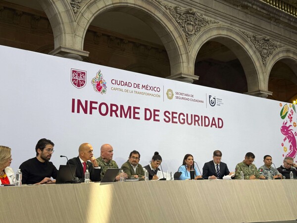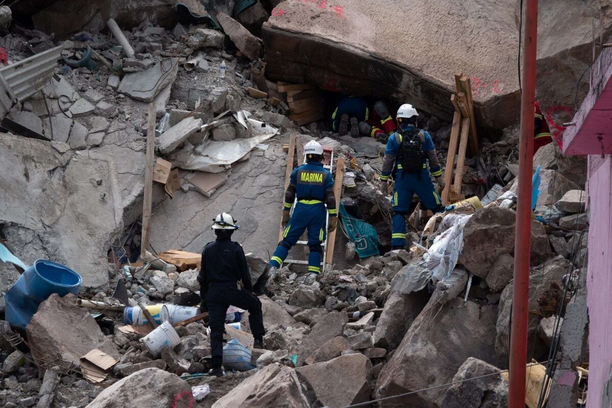
A study by the National Autonomous University of Mexico (UNAM) identified areas with varying levels of landslide risk in Mexico City and its metropolitan area by integrating geographical and social variables through artificial intelligence models. The research warns that populations with fewer resources are the most exposed to the effects of these phenomena, especially during the rainy season. Critical zones: territorial and social contrasts. The analysis, published in the journal Plos One and developed by the Institute of Economic Research, focused on areas such as Cuajimalpa and Álvaro Obregón, as well as in municipalities of the State of Mexico such as Huixquilucan and Naucalpan. In regions like Santa Fe, where areas of high purchasing power coexist with communities in social backwardness, contrasts were identified that directly influence vulnerability to landslides. Where is the highest risk of landslides? According to researcher Mario Alejandro Mercado Mendoza, the results show a differentiated behavior depending on the location: Low zones: lower risk of landslides, but greater social backwardness. Intermediate zones: increased susceptibility, with better infrastructure. High zones: combination of high social vulnerability and greater risk due to terrain conditions. This pattern shows that the risk depends not only on geography, but also on the socioeconomic conditions of the population. Artificial intelligence to anticipate risks. The study used 13 machine learning models that integrated topographic and hydrological data, which allowed for more precise identification of areas most prone to landslides. The final model established a direct relationship between risk and factors such as: Access to health services, Educational level, Housing conditions. This allows us to understand that vulnerability is not homogeneous, but is aggravated in contexts of inequality. Impact during the rainy season. The researcher warned that communities with fewer resources face greater impacts during intense rains, as they usually live in areas with more unstable geological conditions and less preventive infrastructure. This increases the risk of material losses and damage to the population. The study suggests that this information can be key for the design of differentiated public policies that not only address the geographical risk, but also the social conditions that amplify the effects of landslides.